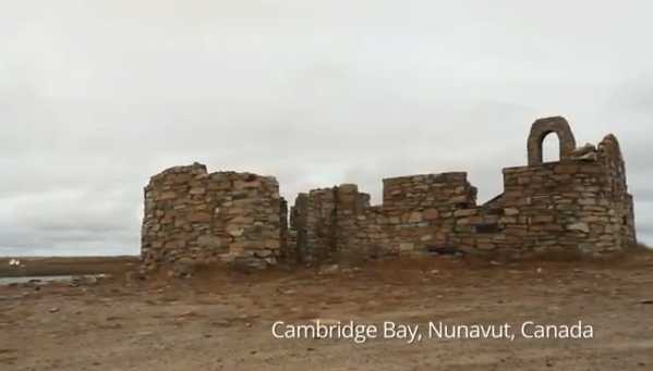
Google Maps Goes to the Canadian Arctic
Google has gone to tons of places – Australian Great Barrier Reef, The Amazon, and even Antarctica. Now, they have travel to the north end of the Great White North to trek into the Arctic – specifically, Cambridge Bay, Nunavut.
As noted on the Google Maps blog, “When we visited Canada’s far north this past August, we worked with the nonprofit group Nunavut Tunngavik and the residents of Cambridge Bay to improve the map of this remote, but culturally rich, Nunavut hamlet. The map this community helped build using Google Map Maker, as well as the 360-degree images we collected using Street View trike and tripod technologies, is now available for all the world to see on Google Maps.”
Check out the gallery here and watch a video of it below, so you can explore the Arctic without freezing your privates off.


